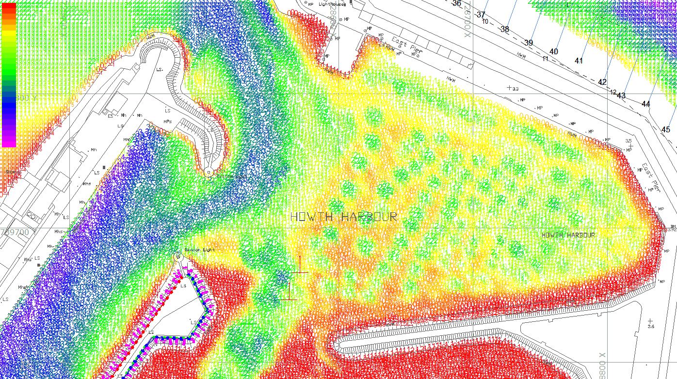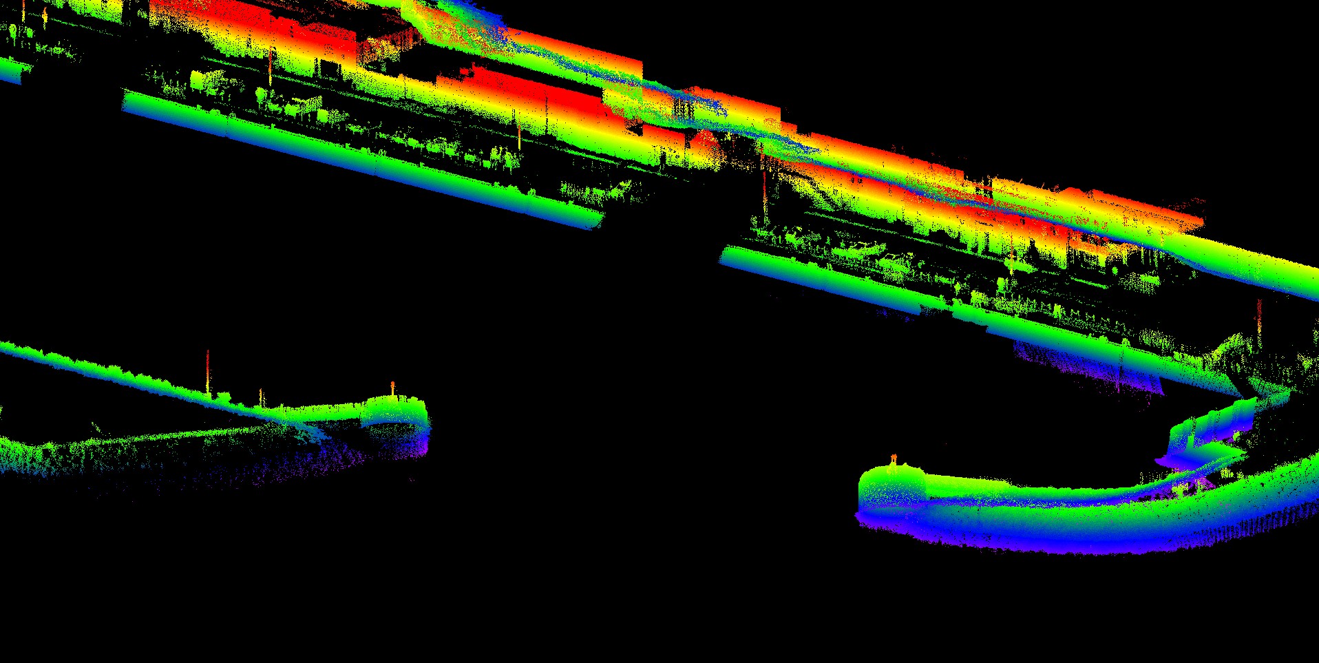

HSL have successfully completed a combined LiDAR, multibeam, land topographical survey at Howth FHC for the Department of Agriculture, Food and the Marine. The survey was carried out across 3 days across the area.
A Norbit iWBMSh multibeam echosounder with integrated iLiDAR scanner was used throughout the survey. To fill gaps and provide spot checks an RTK enabled GPS was used to take spot levels.
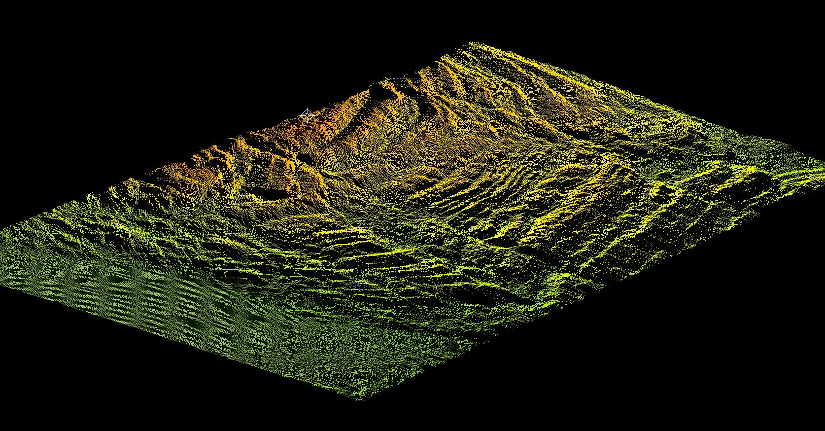
This multibeam is at the forefront of what is possible with multibeam echosounders with a half degree along and across track beam width. An example is given below of the detail in submerged bedrock outcrop, very interesting geology!
Some images from the survey below